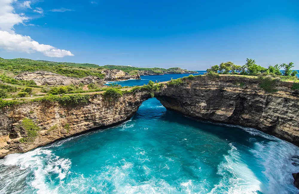
Nusa Penida Island, is located in south-east of Bali Island. The large of Nusa Penida is about 20.284 hectares. It is about 12 km in south-east of Bali. The height of Nusa Penida is 300 meters above sea level; and the temperature is about 28 – 32 degree Celsius. Administratively, this island belongs to region of Klungkung Regency, Bali, Indonesia. Nusa Penida Island consists of sixty villages that are separated near the mountain and near the beach. Nusa Penida is coastal lowland and mountain highland area in which the north part of Nusa Penida is coastal lowland area and the south part of Nusa Penida is mountain highland area. It has tropical climate with rainfall 1.069 mm per year. Geographically, Nusa Penida has the following boundaries;

You will be treated like family. Your safety and enjoyment is our primary mission. We are excited to meet you!.
© Copyright Magnum Cruises. All Rights Reserved.